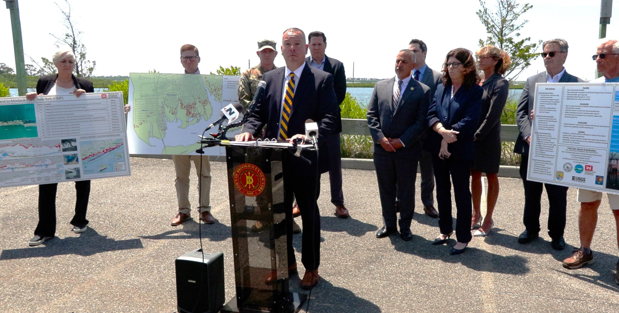
In a significant collaborative effort between local and federal authorities, the Town of Brookhaven has partnered with the Army Corps of Engineers to release detailed maps outlining homes eligible for elevation along the vulnerable coastline from Fire Island to Montauk Point, also known as FIMP. This initiative represents a proactive approach to enhancing coastal resilience and mitigating flood risks in the face of rising sea levels and more frequent severe weather events.
The release of these elevation maps marks a crucial step forward in protecting communities nestled along Long Island’s eastern seaboard. The maps, meticulously crafted through joint efforts between Brookhaven township and the Army Corps of Engineers, identify properties deemed eligible for elevation based on comprehensive flood risk assessments and engineering evaluations.
The project is 100% federally funded and does not require local matching contributions. The funding was allocated within the Sandy Disaster Relief. The project will bring a $1.57 billion investment to Long Island; approximately $900 million is allocated to cover the home elevations.
“In the Town of Brookhaven, there are approximately 1200 eligible homes for elevation in the FIMP zone and approximately 200 homes in Mastic Beach alone that are identified as potentially eligible for the pilot program,” said Brookhaven Supervisor Dan Panico (R-Center Moriches). “Our beautiful shoreline and the homes within the FIMP zone are currently in danger of severe damage or total destruction from future storms. I thank the U.S. Army Corps of Engineers for working with the Town and County to help our residents preserve their homes and keep our shoreline safer from storms and the destruction that they cause”.
The collaboration between Brookhaven and the Army Corps of Engineers exemplifies the effective coordination between local and federal governments in addressing complex environmental challenges. The Army Corps’ expertise in engineering and coastal management has been instrumental in developing elevation strategies that align with Brookhaven’s local priorities and community needs.
“I’d like to personally thank Supervisor Panico, Suffolk County Executive Ed Romaine (R-Center Moriches), and Brigadier General John Lloyd for reaching out to me to bring everyone together. From back when I had 50 soldiers working with me after Hurricane Sandy doing rescue and recovery this is a dream fulfilled. This partnership will protect Long Island for generations to come,” said Steve Castleton, former Civilian Aide to the Secretary of the Army.
The elevation maps are expected to guide homeowners and property owners in making informed decisions regarding flood mitigation measures, including raising structures to safer heights above projected flood levels. This proactive approach not only helps protect individual properties but also strengthens the overall resilience of Brookhaven’s coastal infrastructure.
“The FIMP plan offers a path forward and a lifeline for many people in Mastic Beach and along Brookhaven’s south shore who may soon be priced out of their homes due to rising flood insurance premiums,” said Councilwoman Karen Dunne Kesnig (R-Manorville). “Our office is going to continue to work diligently to get information out to the public once the Army Corp moves further into the process of signing up prospective homeowners.”
Dunne Kesnig represents the Sixth District in the Brookhaven Town Council. The Sixth District encompasses southern and eastern Brookhaven, including Mastic Beach.
The project has garnered praise from residents and environmental advocates alike, who view it as a model for effective collaboration between government entities at all levels. The U.S. Army Corps of Engineers is set to roll out a public outreach initiative by the end of July to communicate accurate information to the residents, address issues, and field concerns. They expect to begin taking applications around late August, or early September.
Looking ahead, Brookhaven plans to continue its partnership with the Army Corps of Engineers to implement elevation projects identified through the mapping initiative. The town remains committed to fostering resilience and sustainability in the face of ongoing climate challenges, ensuring a safer and more secure future for its residents along the eastern shoreline.
As the elevation mapping project progresses, Brookhaven residents and stakeholders can expect ongoing updates and opportunities for community input to further refine and enhance coastal resilience strategies. The collaborative efforts between Brookhaven and the Army Corps of Engineers serve as a testament to proactive governance and a commitment to protecting coastal communities against the impacts of climate change.